Sandy Point
Sandy Point is one of the most popular windsurfing spots in Victoria thanks to the reliable wind, excellent flatwater conditions on Shallow Inlet and a variety of wave setups that cater for several wind directions and less experienced riders.
Sandy Point and the neighbouring Waratah Bay can deliver fun wavesailing in almost every common wind direction on both port and starboard tack. The waves here are not proper ‘surfing quality’, with swells losing a lot of energy over the gradual, sandy slope of the bay. For this reason, rips and channels are minimal, and consistent, clearly-defined sandbanks are rare. The soft, crumbly waves are great for windsurfers to graduate from flat water and try their hand at wavesailing for the first time.
At Sandy Point itself, there are three main spots – the Front Beach (aka ‘the shop’ or ‘surf club’), Ned’s Lookout and Long Arms. The Front Beach and Ned’s work on ENE, E, ESE, SE, NNW and NW wind directions making them an option in both summer and winter. Long Arms is the gem of Sandy Point, and is best on ESE and E wind in summer with clean cross offshore wind blowing across Shallow Inlet unobstructed by major sand dunes.
Waratah Bay offers shelter from onshore wind as the wind swings more westerly, and Venus Bay is the closest option to find summer wavesailing if Sandy Point is flat.
Optimal Conditions:
Sandy Point is versatile and can be good for starboard tack jumping with strong NW in winter, or starboard tack down the line riding with a NNW. Classic Sandy Point is generally considered to be summer E-SE patterns with medium and above sized swells for clean down the line port tack riding.
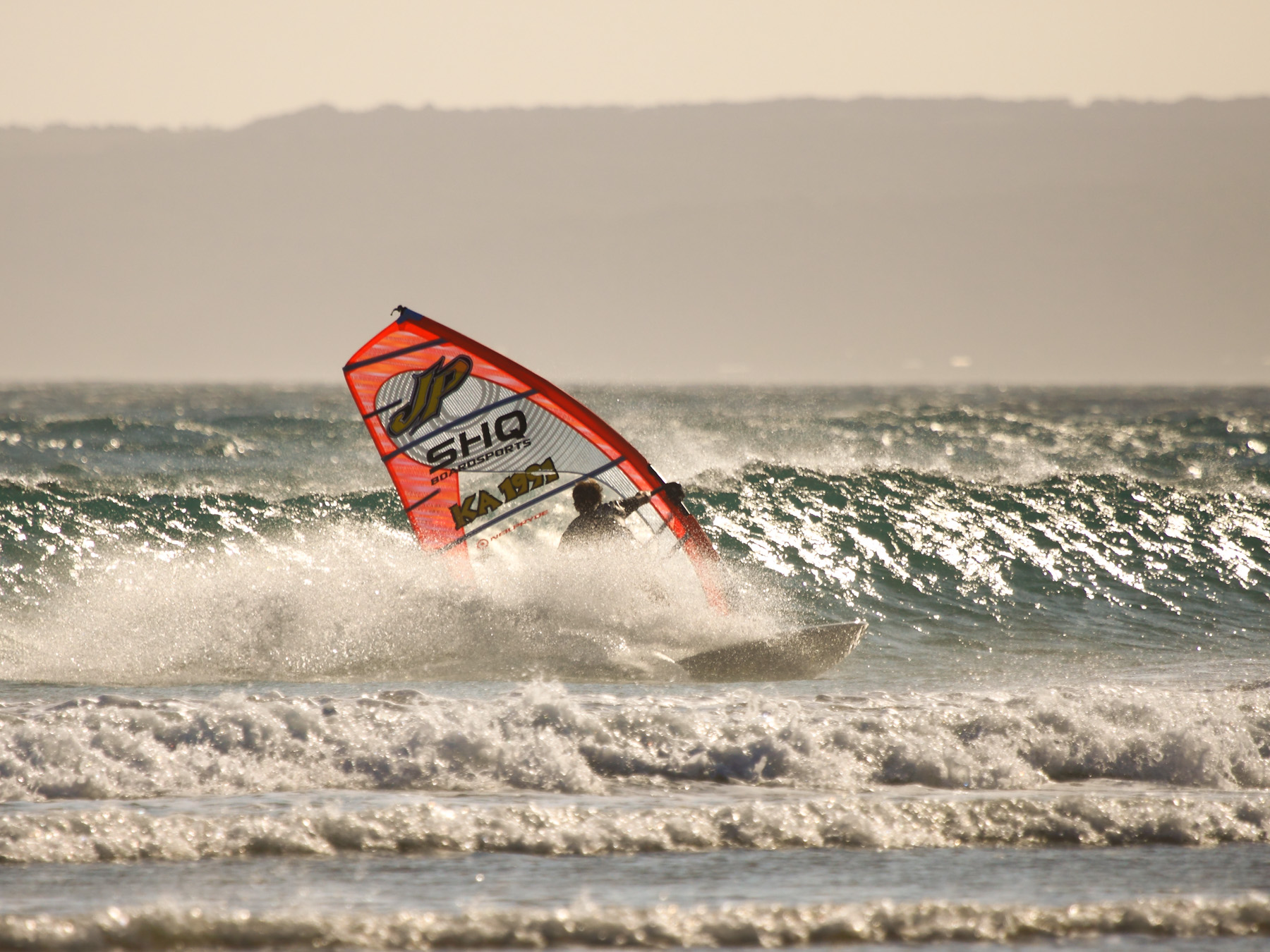
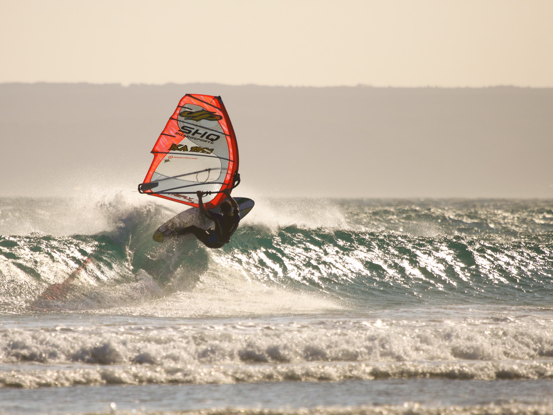
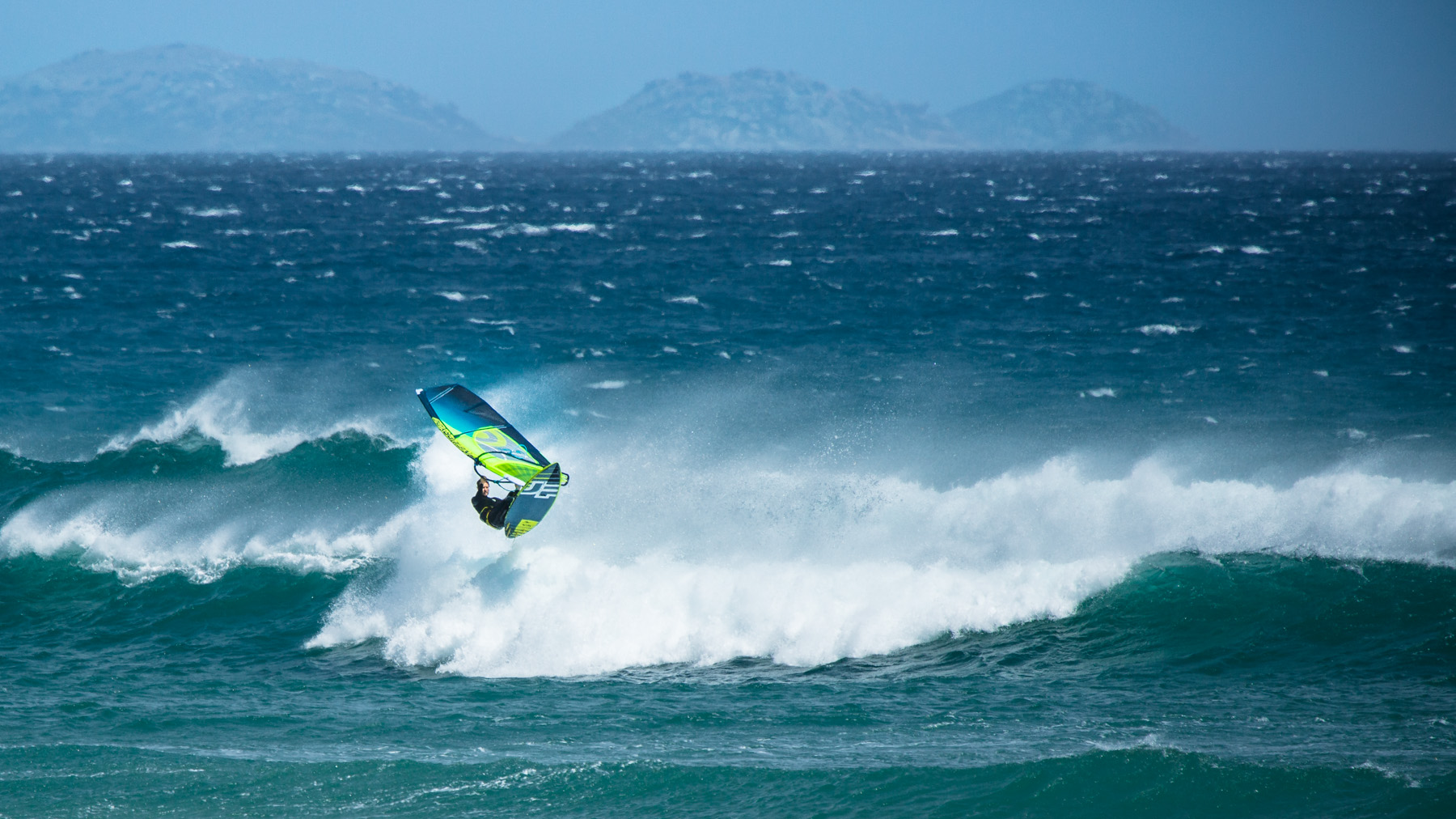
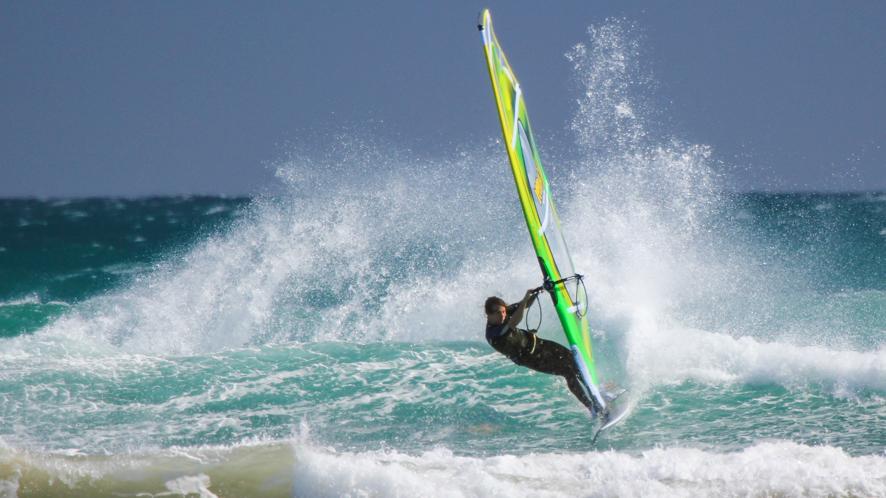
Above: A classic summer Sandy Point session at Long Arms. 25 knot easterly with playful waves. Full speed down the line riding thanks to the very offshore wind.
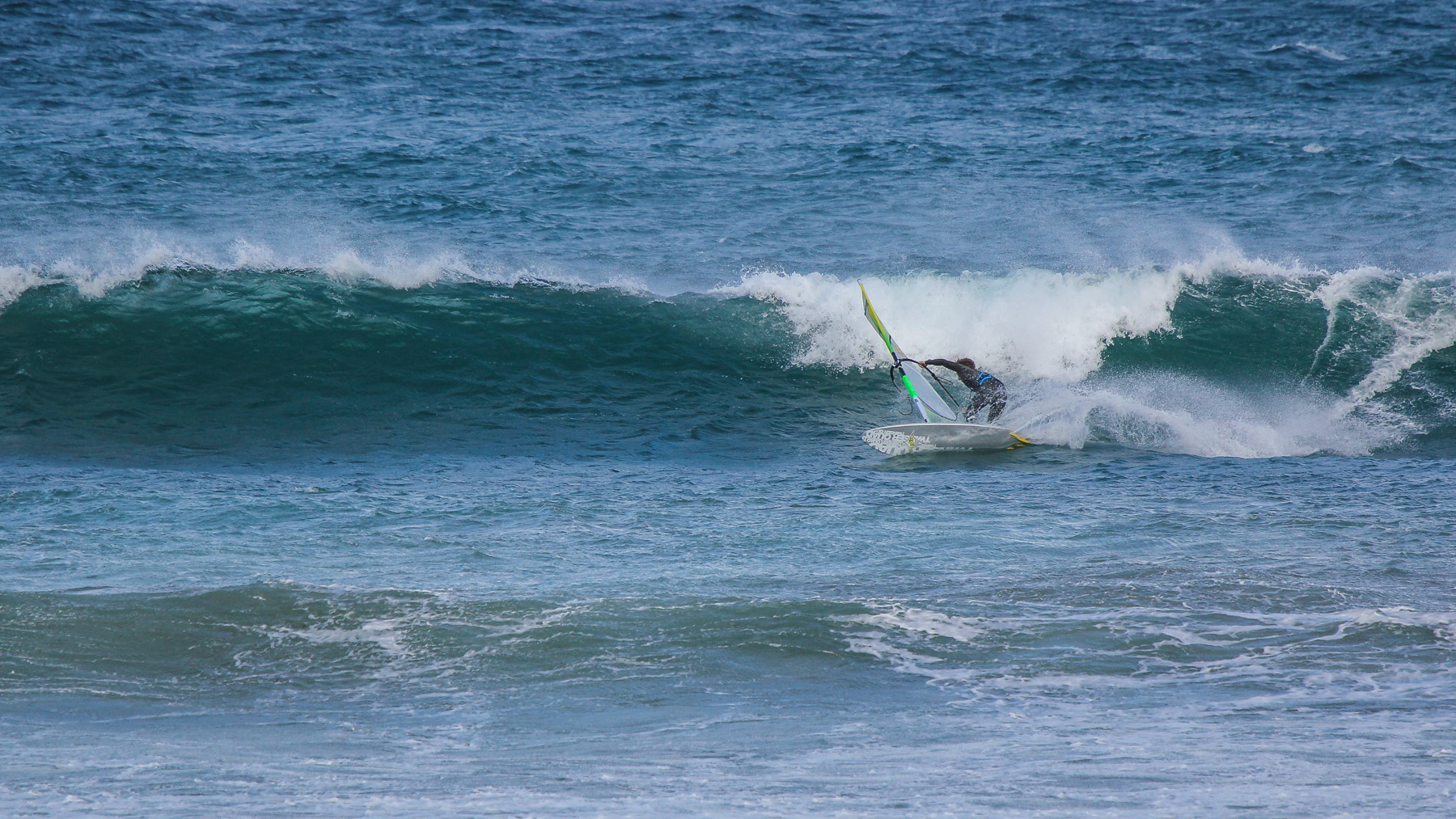
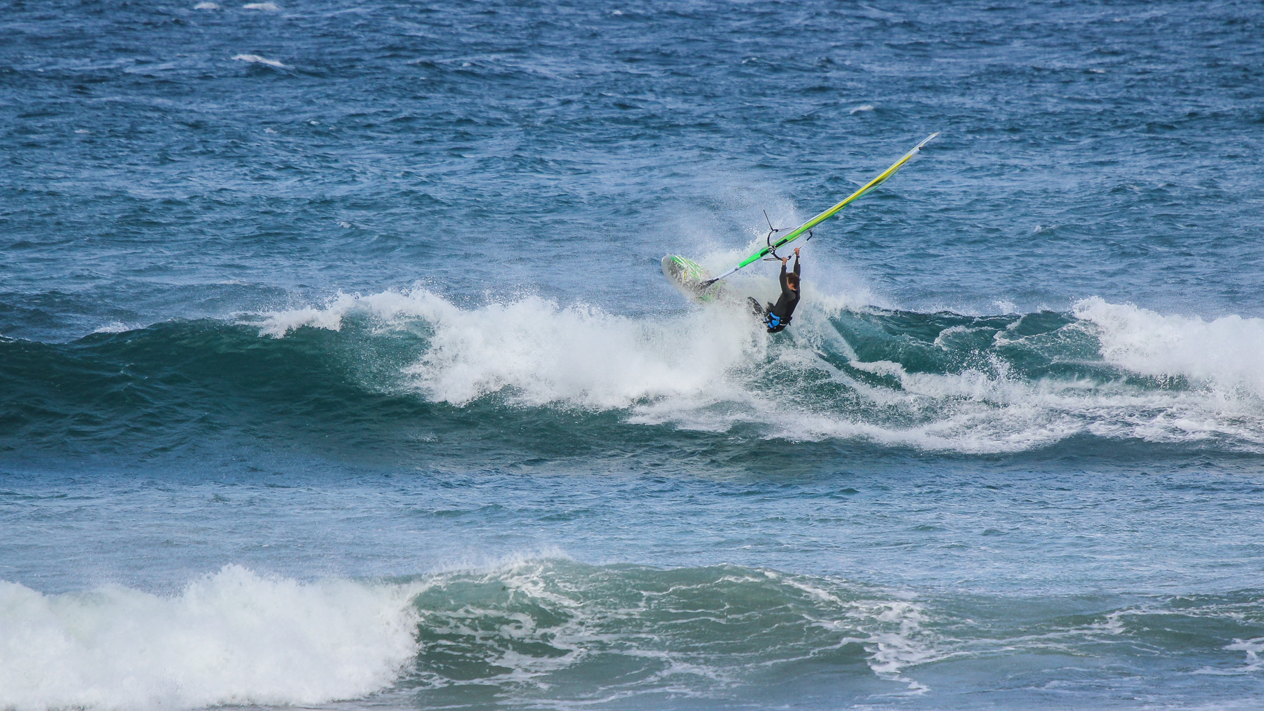
Above: NNW wind at the Sandy Point front beach, also known as ‘the shop’ or ‘surf club’. NNW is not a very common wind direction as northerly airflows are usually the only direction that doesn’t blow hard at Sandy Point. A typical NNW session will only have a short window as a front moves in, before swinging to the west and eventually south west.
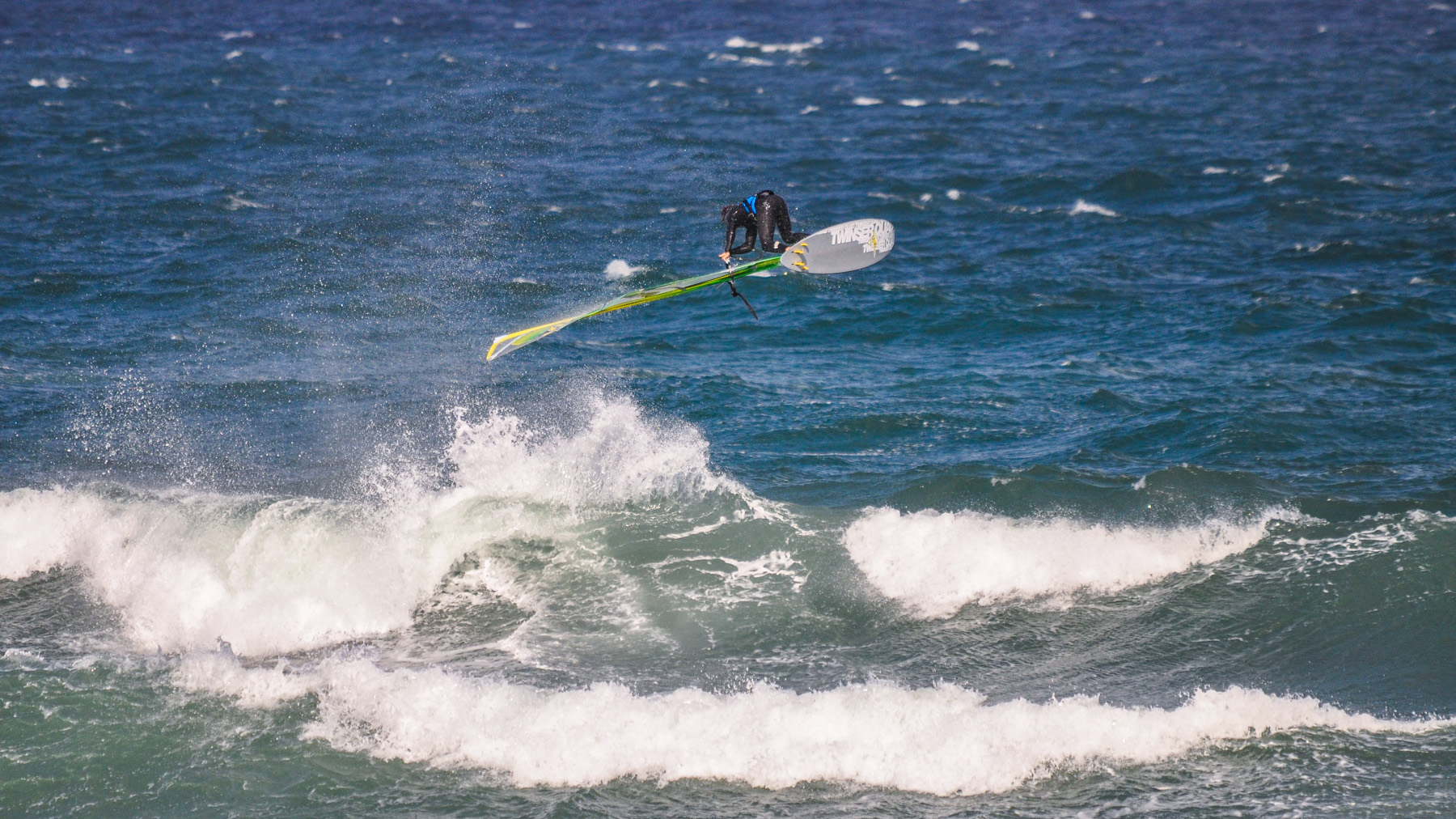
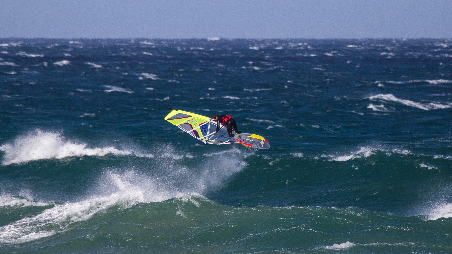
Below: More common conditions for winter Sandy Point, strong NW wind which is cross shore at the front beach. Good for jumping conditions when the swell is not too big – big days mean a lot of whitewater making it hard to maintain speed. Note the lumpy surface conditions and flatter wave faces, down the line riding is doable but not ideal.
Key Stats:
Wind Direction:
E or NW are the two main wind directions. In summer, windsurfing at Sandy is normally between ENE and ESE. True SE wind is rare at Sandy – usually frontal, gusty and turns the waves into mush.
NNW and NW are good on the front beach in winter, if the wind goes more to the west, try the spots at Waratah Bay instead for cross and cross offshore conditions.
Swell:
Sandy Point is tucked behind Cape Liptrap and does not receive the full force of the swell that Venus Bay, Woolamai and Gunnamatta get, despite these beaches being all positioned on a similar aspect. A 1m average swell at Point Nepean will see small waves at Sandy Point, 2m+ will be a good size with overhead sets. Wave period is not that important for Sandy as the waves break pretty uniformly over the sandy bottom.
Refer to notes on wave height.
Tide:
The bottom shape is quite uniform at all of the Sandy Point spots, tide does not make a major difference to wave quality. Generally though, the waves are a bit hollower on low tide, especially if it is a proper swell with a decent period.
Rider Level:
Sandy Point is a playground for intermediate riders who have mastered the basics of wavesailing. For true beginner wavesailors it is one of the best places in Victoria to start with non threatening waves and overall low hazards. Expert riders may find Sandy a bit underwhelming unless there is a good sized swell, instead preferring options with powerful waves like Woolamai and Gunnamatta.
Hazards:
Sandy Point is generally quite safe, with rips and strong currents being minimal, soft waves that push back to shore and no rocks or reef. Modern, quality wavesailing equipment should hold up to any abuse that Sandy can dish out so equipment breakages are minimal.
Surfers & Swimmers
Keep in mind that Sandy Point is a very popular destination for families in summer and that there can be a lot of people swimming and surfing even when it is windy. Find a spot to windsurf away from the crowd.
Shallow Inlet Parking
When accessing Long Arms, park at Shallow Inlet and sail up the inlet to the spit before walking over to the ocean. On high tide the parking area at Shallow Inlet will often be swamped, check the tides and park your car in an appropriate spot beforehand.
Long Arms Access
Access to Long Arms does require a decent level of fitness as some sections of the walk across the spit are in deep thick sand. At the end of the day, walking back upwind across the sand can be exhausting.
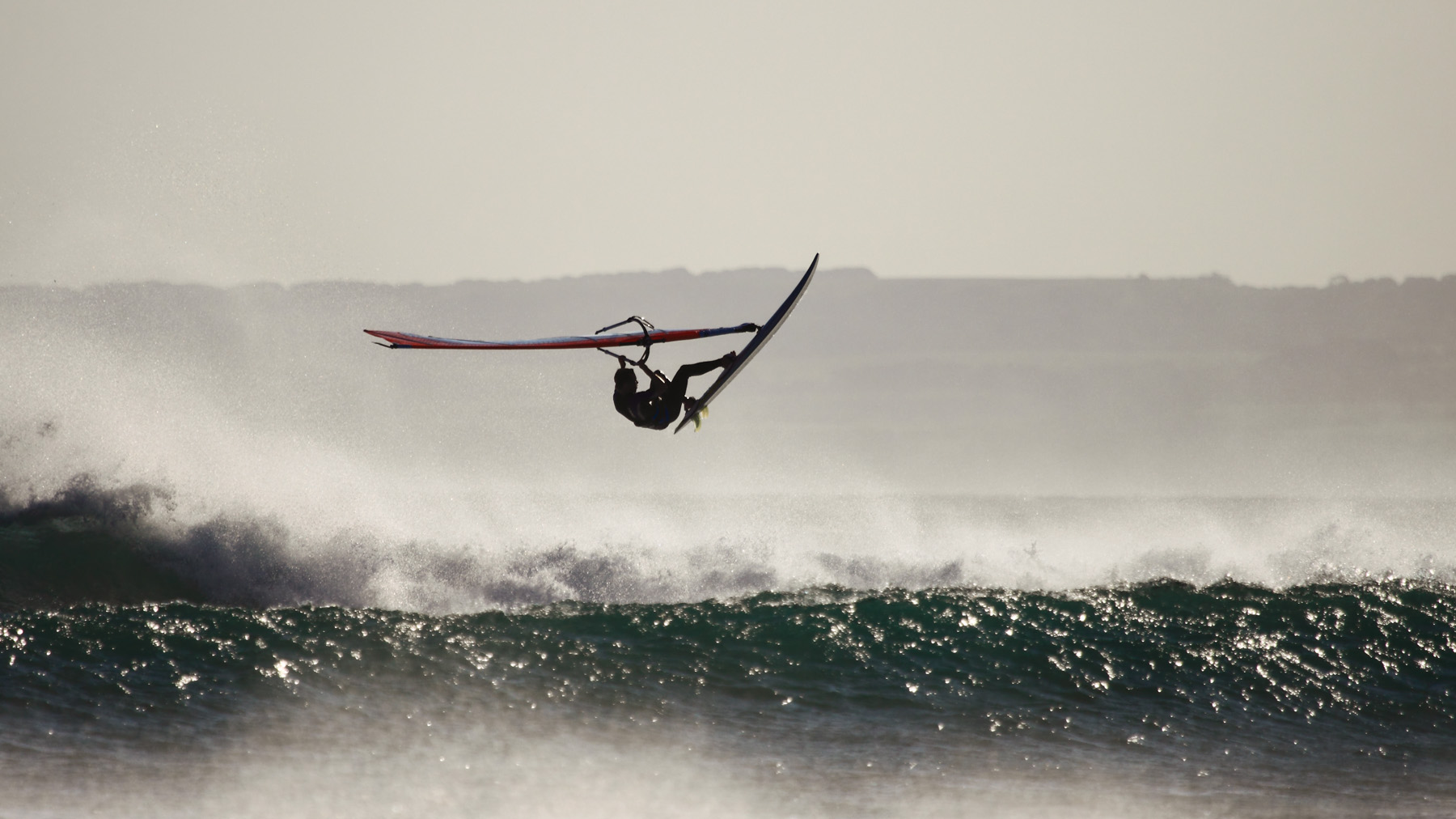
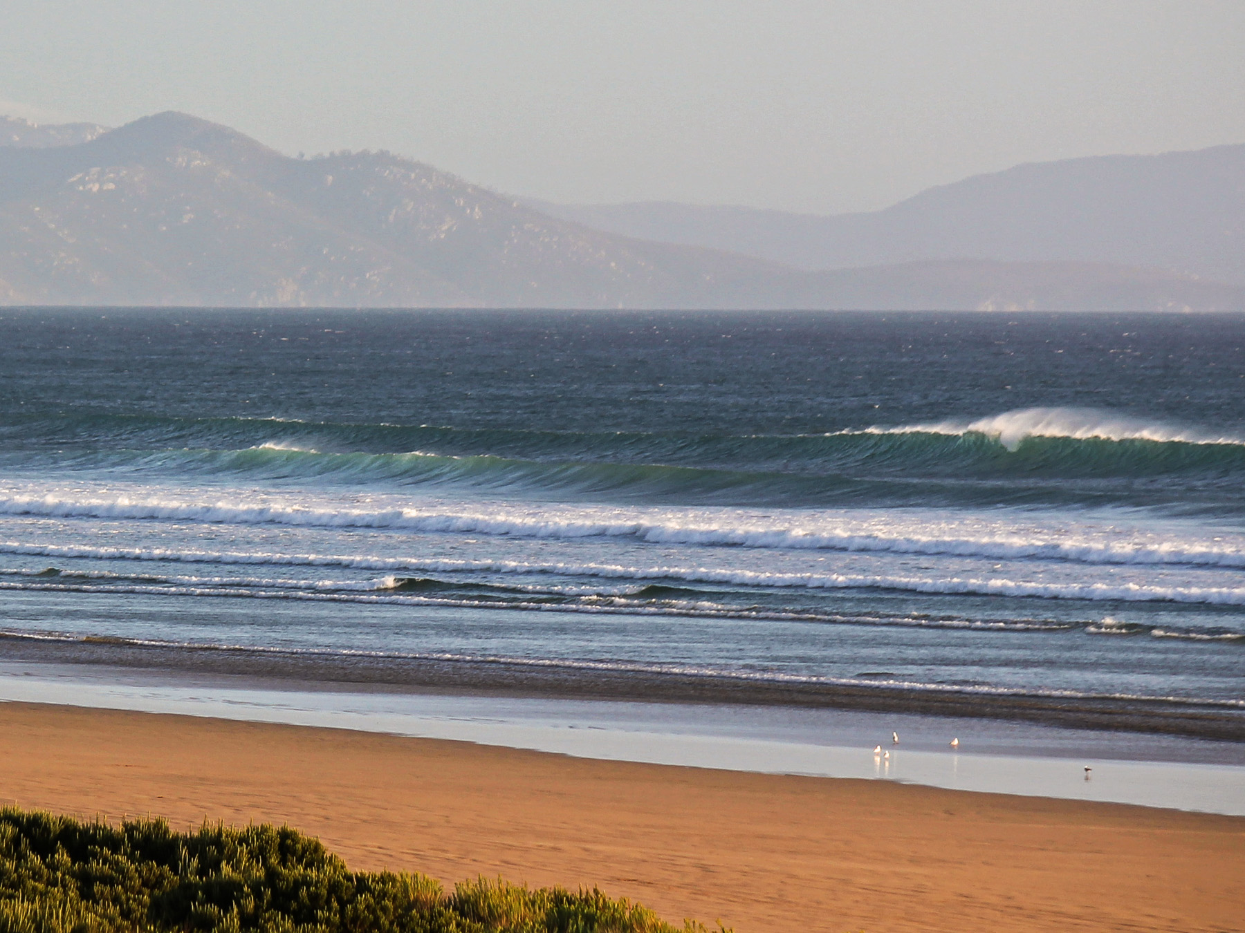
Above: The typical swell size for summer at Sandy Point. Below head high things are not very challenging for intermediates and above, for beginners these days are ideal to start learning the basics of down the line wavesailing. As the swell gets bigger it becomes harder to negotiate the line up with very offshore wind and no channels or clearly defined sandbanks, on 4ft+ days getting out the back can be quite difficult even for experienced riders.
Below:
1. A good easterly day at Sandy with a 3-4ft ground swell. On days like this, Sandy Point is the most reliable windsurfing option in Victoria and fun for all levels of rider. The high pressure system sets up clear skies and wind that normally builds to 20-25 knots by afternoon.
2. Similar but not the same, a howling ENE wind that happens with frontal systems rather than a normal high pressure easterly flow. Very offshore wind means full power on the wave and very gusty wind heading out. Note that the lip line of the swells is broken up by the very strong wind, flattening the wave face and making it more crumbly. Under 25 knots is cleaner and better for wave riding performance.

Forecasting Resources:
Sandy Point is extremely reliable in an easterly air flow, when temps are warm and the sky is clear. The main E-SE spots closer to Melbourne can have no wind while Sandy Point is 25 knots. If there is any doubt about the forecast, then Sandy is your safest option to go windsurfing. A good general rule is a 12 knot E forecast on Windguru with sunshine and warm temps should be at least 15-20 knots at Long Arms by mid to late afternoon.
For winter, NW wind can be very strong at Sandy Point – usually a bit stronger than neighbouring Inverloch and Phillip Island areas. The frontal nature of these systems mean they are less predictable, but still Sandy is a safe bet if the wind forecast is on the lighter side.
Current Swell:
Check the swell forecast on Swellnet here, note that the Mornington Peninsula forecast is for the open beaches. Sandy Point receives about half the swell of these, and the waves at Sandy are far less powerful thanks to the gradual slope and sandy bottom of Waratah Bay. 4-6ft on the open beaches is a good size for a classic Sandy Point day, bigger than that will be challenging for inexperienced riders. Under 3ft for the open beaches will be very small at Sandy Point.
Check live readings from Pt Nepean Swell Buoy here.
Current Wind:
The closest live wind readings to Sandy Point are Yanakie and Wilsons Prom.
Yanakie gives a good indication of the real wind direction at Sandy Point. Take the gust strength at Yanakie for a more reliable picture of the current wind strength on the water. Wilsons Prom is useful to see an easterly trend building, if it is very windy at the Prom but not at Yanakie it should be about to kick in. Keep in mind that the Prom is elevated so wind strengths can be 50% higher than what is happening at Sandy Point and Waratah Bay.
Nearest Windguru Forecast:
Location:
Notes:
Swell Size:
Waves heights given in feet are ‘surfers’ size or Hawaiian Scale. Loosely this means a 3ft wave is head high, 4ft is overhead and 6ft is double overhead or mast high. Use the table below to roughly translate between surf forecasts and live swell readings at Point Nepean.
| Wave Size | Swellnet Forecast (Mornington Peninsula) | Point Nepean Swell Buoy (average height) |
|---|---|---|
| Small | 1-3ft | 0.3-0.9m |
| Medium | 3-5ft | 0.9-1.3m |
| Large | 4-6ft | 1.2-2m |
| Very Large | 6ft+ | 2.0m+ |
Swell period relates to the amount of energy in the swell, a sub 10 second period is low and will be weak. An average quality swell will be around 12-14 seconds and high period, high energy swells are typically over 15 seconds. Higher period swells will generally wrap further into more sheltered locations and lead to increased wave heights.
Disclaimer:
All information published here is for educational purposes only with no warranty, express or implied. In no event will any form of liability be accepted as the result of your use of information published on this site. You are responsible for your own safety in the ocean, educate yourself, maintain high levels of fitness, maintain your equipment and always act within your limits.
Photos:
Photos by Olivia Hughes, Phoenix McLeod, Alastair McLeod | untracked.media & Jodi Stevenson.
